Back to Real Estate Definitions Fact-checked by a REMAX Thailand Real Estate Expert
Legal Document, Survey Map
What is Land Office Survey Map in Thailand?
The Definition
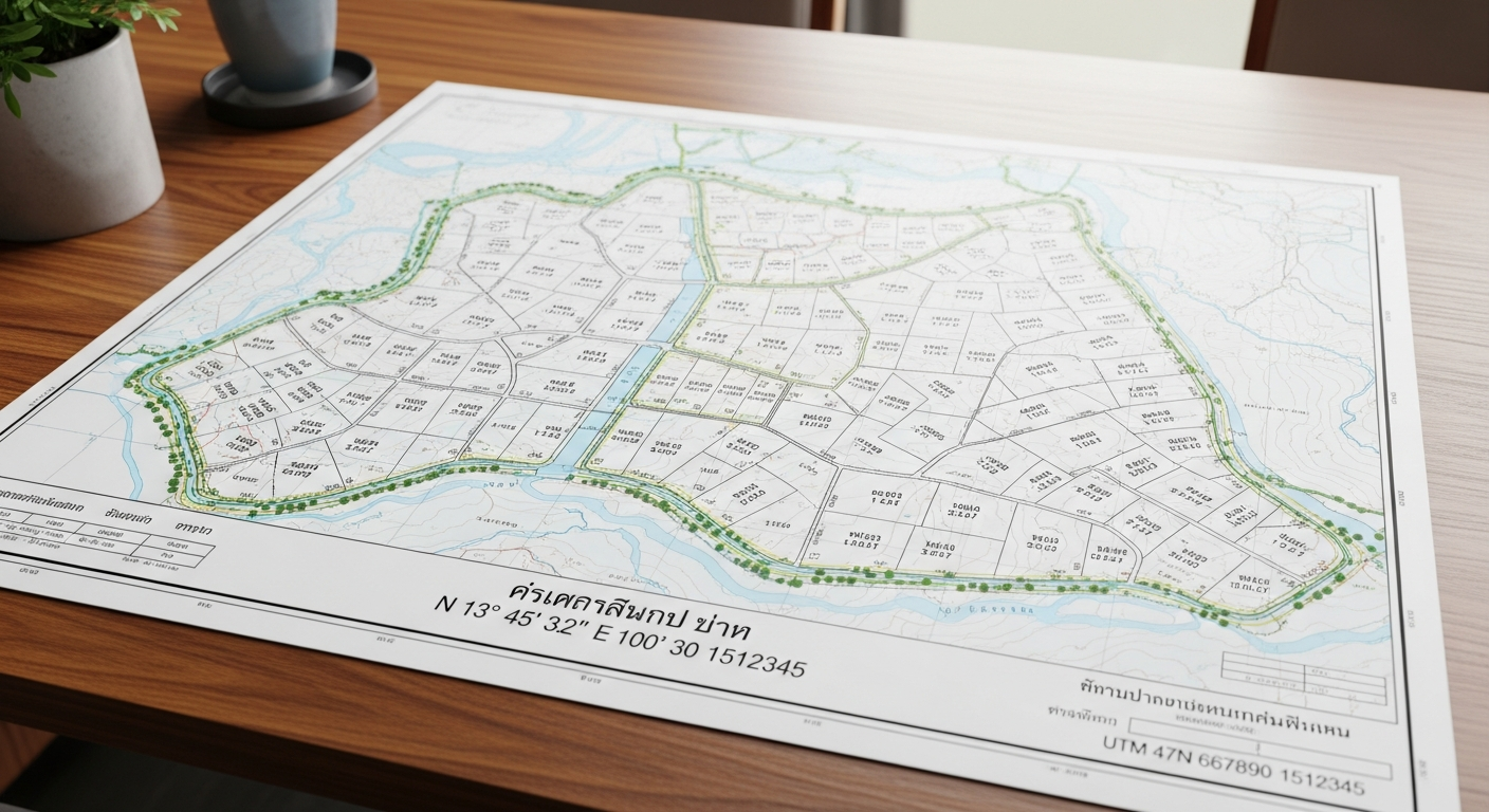
The Land Office Survey Map (known as *rubthang* or cadastral survey plan in Thai) is an official graphical representation of a land parcel's boundaries, area, plot number, adjacent plots, and road access, prepared by Department of Lands (DOL) surveyors and attached to title deeds like Chanote (Nor Sor 4 Jor). It uses precise legal survey measurements, often GPS-integrated and tied to Thailand's national geodetic datum, to define ownership for registration and transactions.
Global Expectations vs. Thai Reality
Western buyers might expect a survey map to be privately commissioned from any licensed surveyor with instant digital access via public online portals. In Thailand, however, only certified Department of Lands (DOL) officers can perform official surveys for registration, with no private alternatives allowed. Maps are not fully digitized nationwide, often requiring in-person visits to provincial Land Offices and physical field surveys.
The Problem It Presents
Without verifying the Land Office Survey Map, buyers risk boundary disputes, as lesser titles like Nor Sor 3 lack precise mapping and are prone to overlaps. Sellers may face delays or rejection in title upgrades or subdivisions if the map reveals deviations in size or placement not fixed by permanent markers. Unexpected costs can also arise from mandatory DOL field resurveys, prolonging closings by weeks.
Foreigner vs. Thai Citizen Rules
The Land Office Survey Map applies identically to all buyers in verifying boundaries and ownership during transactions, as it confirms the land parcel regardless of nationality. While Thai citizens can directly own Chanote-titled land, foreigners (who typically acquire condos or long-term leases) must still scrutinize the map to ensure lease validity or verify land holding company structures.
The Thai Legal Context
Governed by the Land Code Act B.E. 2497 (1954) for registration and the Land Survey Act B.E. 2478 (1935) for measurement standards, with oversight from the Department of Lands (DOL). The Royal Thai Survey Department (RTSD) provides geodetic control, triangulation points, and base maps, while Ministerial Regulations enforce survey procedures like corner post (*luk baan*) placement.
Benefits & Risks
Advantages
- Provides indisputable proof of exact boundaries via GPS-surveyed data, minimizing disputes in Chanote titles for smooth transfers.
- Enables legal actions like subdivision or mortgages, with maps attached directly to deeds for transparency.
- Ties to national geodetic datum for accuracy, outperforming informal sketches in court or registration.
Risks & Disadvantages
- Official surveys are DOL-exclusive, causing delays (2-8 weeks) and no private options for speed.
- Minor deviations in non-GPS titles (e.g., NS3G) can lead to neighbor claims or failed transactions.
- Not fully aligned with consumer GPS apps, risking on-ground mismatches during due diligence.
Showcase: How It Works
Let’s look at a real-world scenario to understand how Land Office Survey Map is applied during a property transaction.
The Scenario
- A Thai buyer purchases a 1-rai Chanote plot in Chiang Mai for 3,000,000 THB but wants to subdivide it into two 0.5-rai lots.
- They apply at the Land Office (fee: 500 THB), triggering a DOL surveyor visit to plant *luk baan* posts witnessed by neighbors.
- A *rubthang* map is drafted, posted publicly for 30 days to check for objections, and then registered.
The Result
The subdivision is approved with maps confirming no overlaps, enabling sales at 1.8M THB per lot. Transfer fees are split based on the new valuation.
Outcome: Subdivision approved; value increased to 1.8M THB/lot.
Land Office Survey Map vs. Textual Boundary Description
A quick breakdown of how this term compares to its closest alternative.
| Feature | Land Office Survey Map | Textual Boundary Description |
|---|---|---|
| Precision | GPS-mapped visuals with markers | Descriptive only, vulnerable to disputes |
| Legal Weight | Enables instant registration/sales | Requires 30-day postings and upgrades |
| Cost/Time | 2-8 weeks (2,000+ THB/rai) | Cheaper but riskier long-term |
Frequently Asked Questions
What scale is the Land Office Survey Map drawn at?
Typically 1:4,000 for cadastral plans, showing parcels in meters with boundaries and cornerstones from DOL field surveys.
Can I get a digital version online?
Partial digitization exists, but full access often requires in-person Land Office requests as not all provinces are updated.
How much does a new survey map cost for subdivision?
Around 2,000-5,000 THB per rai plus application fees, handled only by the Department of Lands (DOL)—not private firms.
Does the map change if neighbors dispute boundaries?
Yes. If an objection occurs during the 30-day posting period, the DOL resurveys and amends the map if overlaps are proven, potentially shrinking your plot.
Is a survey map required for condo purchases?
No, condos use unit plans, not land maps. However, it is vital to verify the project's underlying land title has a valid map for structural integrity.
Related Terms
Free Guide
Download "Thai Land Measurement Mastery Guide" to learn more and navigate safely.
Get the FREE PDF GuideWhy It Matters
Ignoring the Land Office Survey Map exposes buyers to boundary theft or invalid titles, potentially wiping out millions in THB investments during disputes. Sellers without updated maps face rejected transfers, delaying liquidity in Thailand's rigid DOL system.
💡 REMAX Pro Tip
Always demand a certified *rubthang* copy from the Land Office pre-offer—visit with your agent to overlay it on-site via DOL GPS tools, catching deviations before LOI signing.
Common Misconceptions
Myth: Any Google Maps or private drone survey suffices as an official Land Office Survey Map.
Reality: Only DOL-conducted surveys with *rubthang* plans are legally valid for registration; private surveys hold no weight at Land Offices.
Myth: All Thai land titles include a survey map by default.
Reality: Only full Chanote (NS4J) guarantees a precise map; lesser titles like Nor Sor 3 use textual descriptions prone to disputes.
Need more help?
Our expert agents and AI are ready to assist you.
Ask Line AI Ask WhatsApp AI Find an Agent